


 |
| MGC Overview |
 |
| Lebanon Airspace |
 |
| Purdue Airspace |
 |
| Purdue Airspace |
 |
| Matrell Forest |
 |
| Purdue Wildlife Area |
 |
| LAANC |
 |
| MGC Flight tab |
 |
| MGC Settings Tab |
 |
| MGC Flight plan Tab |
 |
| Flight plan settings |
 |
| Flight Plan settings |
 |
| Lebanon Airport Flight Plan |
 | ||
MGC Home page
|


 |
| GCP initial processing data |
 | ||
GCP corrected data
|

 |
| Lab 5 Hurricane data analysis |
 |
| Lab 5 Final product map |
 |
| Lab 5 Tutorial Final Product |
 |
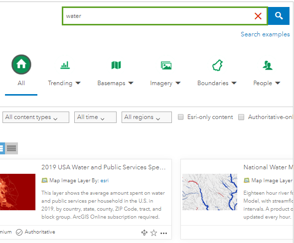
| Lab 5: Water Table Values |
 |
| Lab 5 Filter examples |
 |
| Lab 5: Learn ArcGIS filters |
 |
| Lab 5 Urban Development Tutorial |
 | ||
Lab 5: Population density Tutorial
|

 |
| Lab 4 Final Product |
 |
| Lab 4 Processing Times |
 |
| Lab 4 DSM |
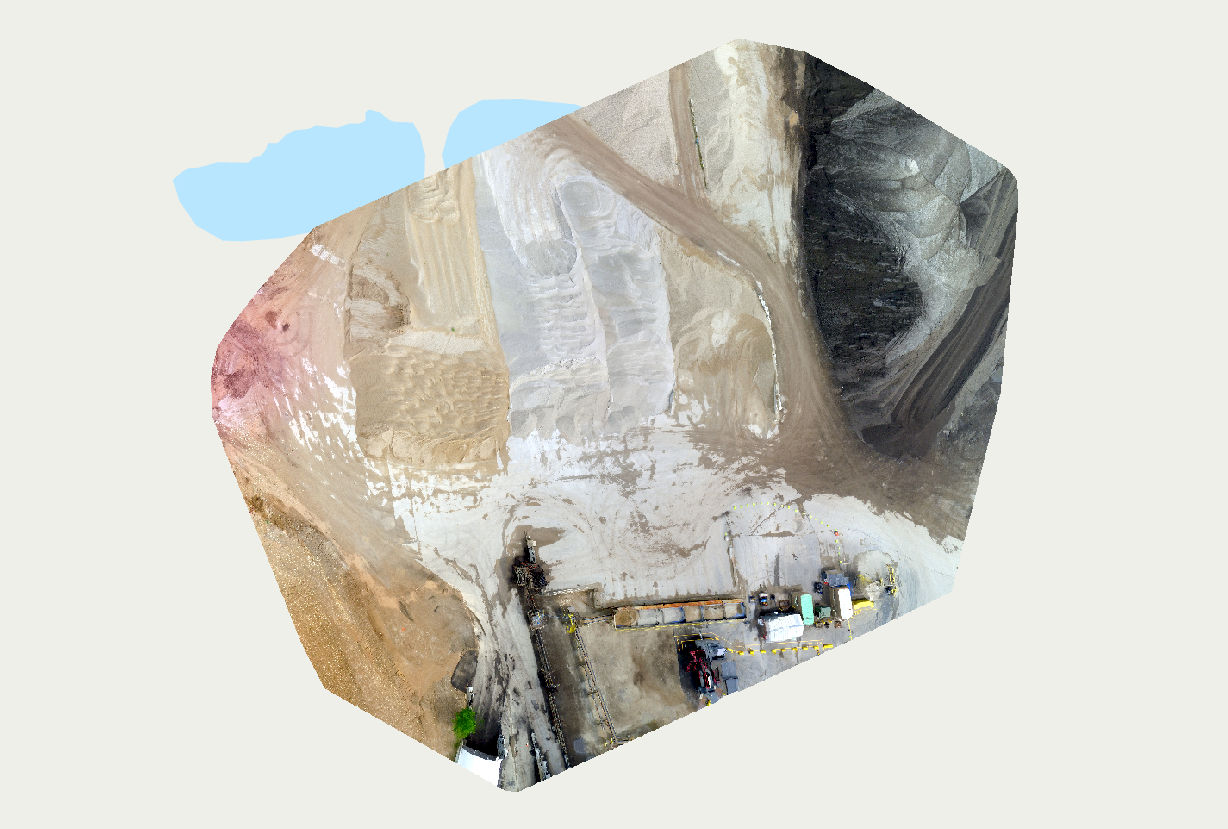 |
| Lab 4 Ortho |
 |
| Lab 3 Aspect Map |
 |
| Lab 3 Final Product |
 |
| Lab 3 Ortho Map |
 |
| Lab 3 Slope map |
Lab 2 final product map

No comments:
Post a Comment