 |
| Figure 1: Volumetric Analysis |
Introduction:
In this lab we used Pic4D & ArcPro to preform a volumetric analysis on the Wolfcreek area. A volumetric analysis in ArcPro is using image data and data sets from Pix4D to calculate the volume of a specified area; an example of which you can see above in figure one. There are several tools within ArcPro that help facilitate this an there are many different methods to use depending on what the application is; many of these we will go into detail with below. However before we do that we need to understand what we need in order to do a volumetric analysis. Obviously we need image data of the target area which we can get from Pix4D, we also need accurate GCP data of the area in order to ensure our location and altitude data are accurate.
Methods:
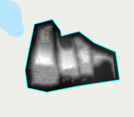
 |
| Figure 2: Pix4D Processed Volumetric Data |
To start off the process, we need to process our image data in Pix4D. This is done the same way as we are familiar with from before. After moving our raw data into the project we first defined our area of interest usinh the clip function, in this example the stockpiles in the north end of the image data as seen in figure 3 & 4 below.
 |
| Figure 3: Stockpiles Clip |
 |
| Figure 4: Stockpiles Location |
With this done we can start processing the volume data, it's important during this time to make sure to resample our data as needed in order to get accurate results. After this is done we can use thwe various means of calculating volume to create a table of values, the results of which are below. We use different ways of calculating volume in this case to explore the options we have as they will all give different results.
 |
| Figure 5: Volume Calculations by Align with Lowest Point |
 |
| Figure 6: Volume Calculations by Align with Highest Point |
 |
| Figure 7: Volume Calculations by Custom Altitude (293") |
 |
| Figure 8 Volume Calculations Align by Average Altitude |
 |
| Figure 9: Volume Calculations by Fit Plane |
As you can see we have a few different options to choose from when determining the volume of the area.
With this data in hand we can move on to ArcPro to create a usable map. After creating our database we'll use the polygon tool to mark our area of interest. Then we can use the extract by mask tool to clip out the aggregate piles we did our volumetric work on in Pix4D. We can then use the surface volume tool on the raster files to do just that and fin the surface volume.
Discussion:
We've already seen the end result of the Pix4D volumetric analysis in figure 2 but I want to draw attention to the table of values below, this tables compiles the values found in figures 5-9.
 |
| Table 1: Values of Different Volumetric Tools |
Note the differences in total volume between the various methods, particularly the custom altitude method and the lowest point method; they are very similar to each other and much larger then the other methods; this is important as we can use our GCP data to verify the altitude of the land around the clip and establish that as the "bottom" of the stockpile.
Moving on to the ArcPro side of things we see one of the primary uses of Volumetric analysis as it pertains to us, that being the change in volume or area over time. In the figures below we examine the change in volume of an aggregate pile over a period of time.
 |
| Figure 10: Lithcfield Volume Over Time |
 |
| Figure 11: Litchfield Change in Volume |
This kind of data has a multitude of uses from a business perspective such as keeping track of stock and waste, or future development. But beyond this particular type of business being able to calculate the volume or change in volume of an area with UAS has many possible applications; such as, tracking the progress of erosion, deforestation, or change in waterways. These are just some of the possibilities I could name offhand.
I also want to take a quick aside to reaffirm the importance of resampling and ground control. I've discussed this at length in previous entries but now we can visually see the purpose of such. GCPs are needed to gain the level of accuracy in position data needed for applications like this; as seen in the figures and tables above when dealing with large areas being off on position by even a few feet can dramatically change your results. Resampling is important much for the same reasons as it allows to make the DSM data more accurate.
Conclusion:
In conclusion, volumetrics are vastly helped by the use of UAS as they allow for detailed information to be gathered over a long time with greater efficiency than other platforms. However accurate data and proper usage of the resources available in GIS are key to making the most of its uses. And as I alluded to before the number of uses for this are limited mostly by imagination.


No comments:
Post a Comment